Technical
For my PhD research, I needed to collect local political data for the UK. This article documents the data sources and procedure used to create a suitable dataset for my analysis, and allows for the analysis to be easily reproduced for use within your own workflow/
Read more...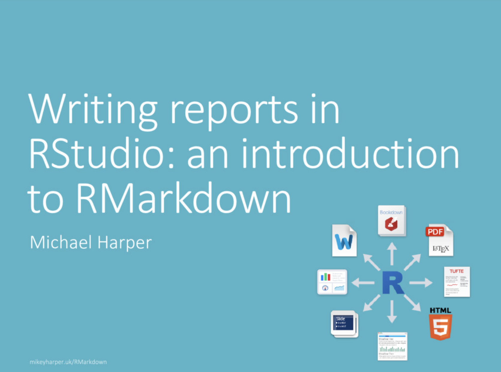
Learn why you should consider the benefits of RMarkdown for doing data-driven research. This post shares a presentation which I gave to the Spatial Modelling group, and provides some useful resources for futher reading.
Read more...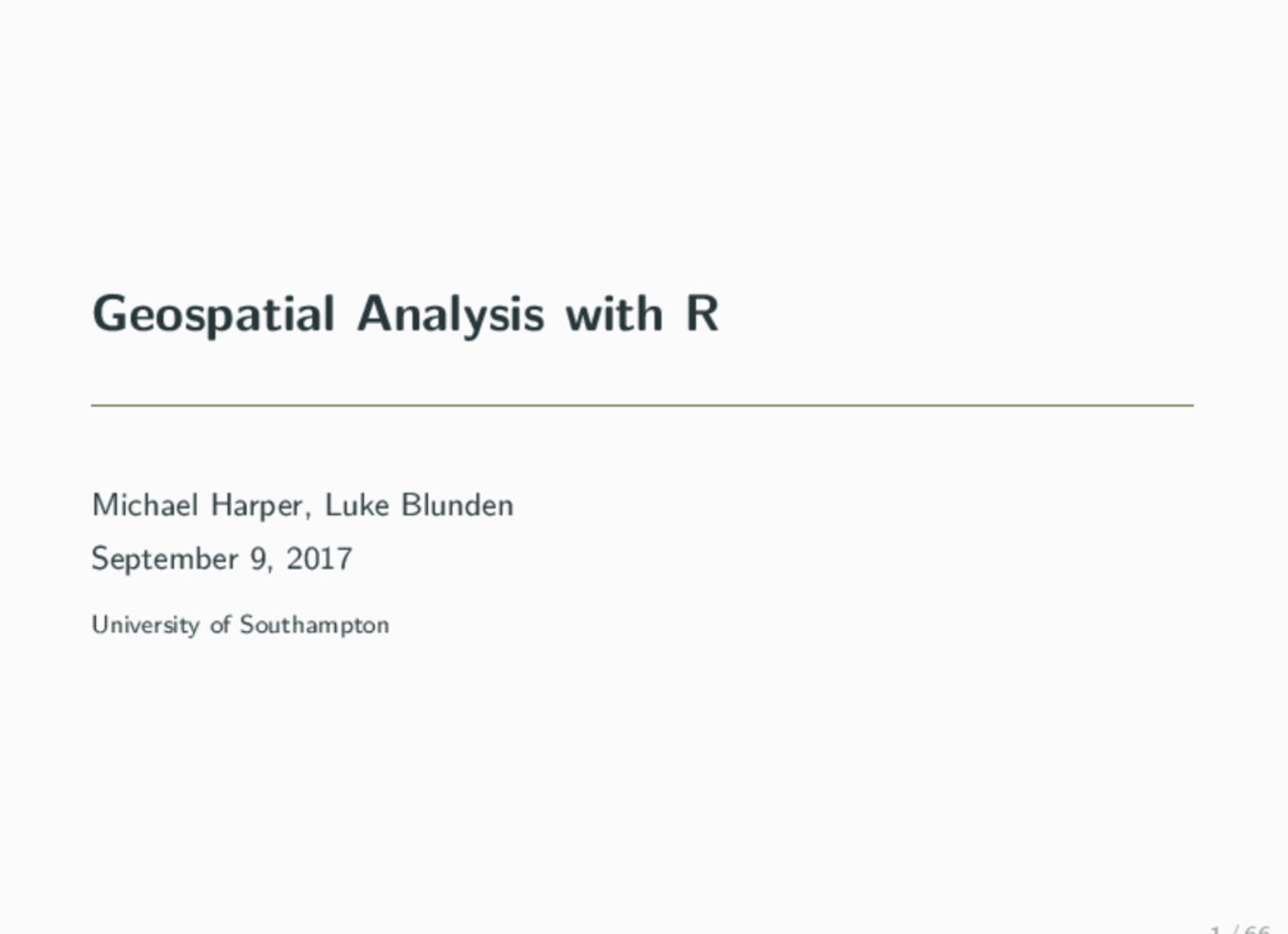
Although R is widely used for data processing and statistical modelling, it is less frequently known for its powers of handing Geospatial Data. This presentation is aimed to show people the benefits of using R in their analyses, and provides practical guidance on how to get started on your first project.
Read more...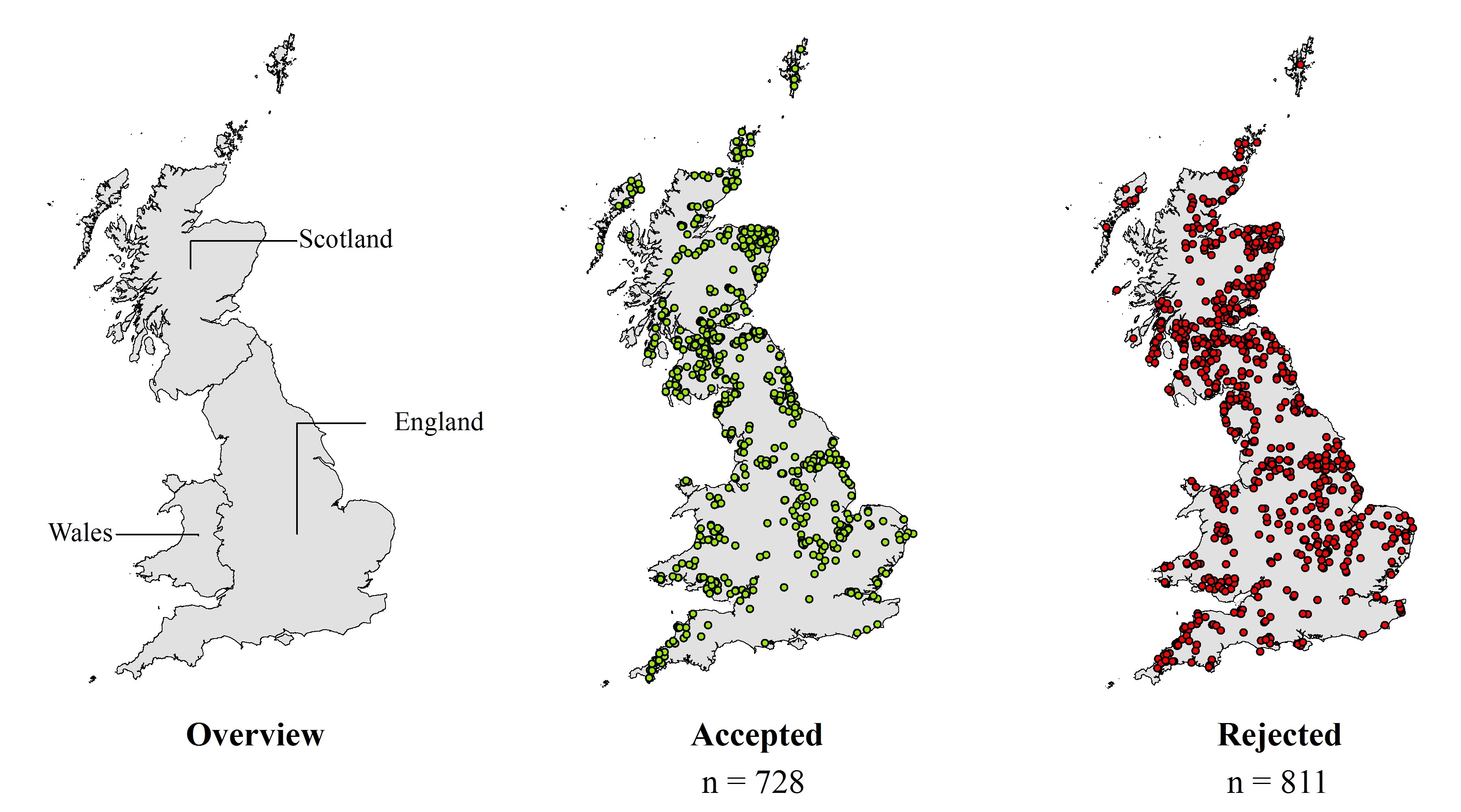
Conference paper presented at ECOS 2017 on my research into understanding why some wind farms are more successful than others.
Read more...